

A dangerous heat wave that’s been scorching the north-central U.S. is shifting to the Northeast before expanding farther south in the Mid-Atlantic later this week.
“Even for mid-July, this heat is expected to be exceptionally rare for some locations and produce numerous daily temperature records, while potentially nearing monthly and all-time records,” the National Weather Service wrote Tuesday in a post on X.
More than 125 million Americans are under some sort of heat alert, including extreme heat warnings and heat advisories.
In southwest Texas, flooding is the biggest concern from the Hill Country to the Big Bend regions, where some spots could see more than 10 inches of rain.

A map showing heat risk across the continental United States on July 14. The darker areas indicate regions with elevated risk. Data: National Weather Service. Map by Mike Bebernes.
(Google Earth)
Here’s what to expect.
North-central U.S.
Widespread temperatures between 95°F and 105°F are forecast for parts of the northern Plains and Upper Midwest. The intense daytime high temperatures combined with potentially record-breaking warm low temperatures provide limited relief from the increasing heat stress, the NWS said Tuesday.
At least 32 million Americans are currently under extreme heat warnings, where heat index values are reaching the triple digits. The heat index value is what the temperature feels like to the human body when the air temperature is combined with relative humidity.
“This heat will quickly become dangerous to anyone without adequate cooling or hydration,” forecasters said.
Northeast and Mid-Atlantic
On Tuesday, sweltering temperatures shift to the Northeast, with the most intense heat hitting on Wednesday and expanding to the Mid-Atlantic. This includes major cities from Richmond, Va., to Boston, forecasters say.
Temperatures are expected to reach the upper 90s to 100°F. Several daily high records are expected on Wednesday.
The Northeast will see relief at the end of the week with cooler temperatures.
Southwest Texas
Through Thursday, “a significant heavy rainfall event” is expected to linger across southwest Texas from a slow-moving weather pattern, forecasters say.
Storm-total rainfall could reach 6 to 8 inches, and some spots could possibly see more than 10 inches of rain. As soil becomes increasingly saturated, it could lead to dangerous flash flooding.
On Tuesday, parts of southwest Texas are under a flood watch, a flood advisory or a flash flood warning.
How to stay safe in the heat
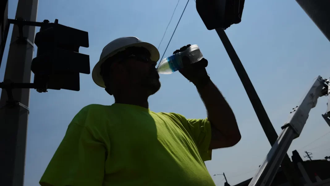
The NWS advises that if you’re located in “any of these areas forecast to experience extreme heat, stay hydrated, take frequent breaks, and limit outdoor activities if possible.”
The agency also reminds people that they should not leave young children or pets in unattended cars, as interiors can reach deadly temperatures in a matter of minutes.
If you have to be outside, wear lightweight and loose-fitting clothing, and limit strenuous activities to early morning or evening.