
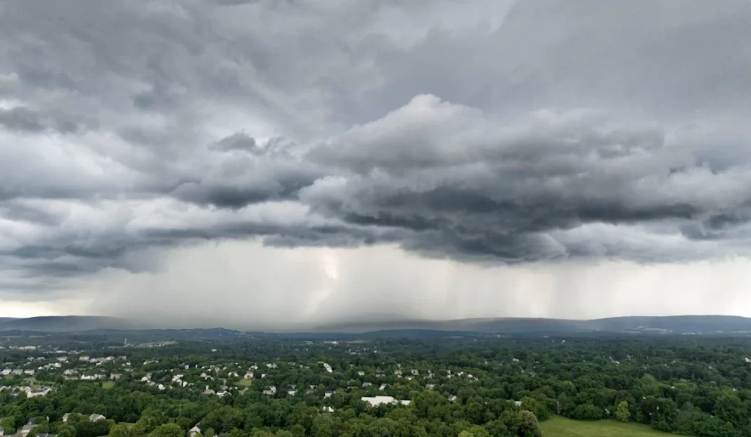

Potentially damaging wind and heavy rain are possible accompanying potential strong thunderstorms throughout New York state on Thursday, according to the National Weather Service in Buffalo.
Potential severe thunderstorms in NY
Strong to severe thunderstorms are possible on Thursday, June 18 as a cold front moved through the region, forecasters said.
Weather Service forecasters said there is a slight risk for severe storms in parts of the North Country and eastern New York, including the lower Hudson Valley. Much of western and central New York face a more marginal risk for severe storms, forecasters said. Heavy rain and strong, damaging wind gusts – up to 50 mph – are possible.
Timing of potential storms on Thursday
The main window for possible storms runs from late morning through mid-afternoon in western and central New York and from late morning to early evening in the Lower Hudson Valley and New York City area, according to the Weather Service.
Thursday forecast across New York
Weather conditions are currently unsettled across the state on Thursday, June 18.
Buffalo: Showers likely (70% chance of rain), possibly a thunderstorm. Wind gusts up to 49 mph. High of 71.
Rochester: Showers likely (80% chance of rain), possibly a thunderstorm. Wind gusts up to 31 mph. High of 80.
Syracuse: Showers likely (90% chance of rain), possibly a thunderstorm. Wind gusts up to 37 mph. High of 81.
Albany: Showers and thunderstorms likely (90% chance of rain). Wind gusts up to 36 mph. High of 81.
Binghamton: Showers and thunderstorms likely (80% chance of rain). Wind gusts up to 33 mph. High of 83.
Poughkeepsie: Showers and thunderstorms likely (90% chance of rain). Wind gusts up to 31 mph. High of 85.
New York City/Long Island: Showers likely (60% chance of rain) and thunderstorms possible. Wind gusts up to 28 mph. High of 87.
This article originally appeared on Rochester Democrat and Chronicle: Severe thunderstorms possible across NY: Winds, heavy rain forecast