
After a relatively mild summer so far, residents of Western Oregon and the Willamette Valley will get a taste of smoke, heat and elevated wildfire danger this week.
Warnings for temperatures in the 100s, wildfire smoke blowing in and a red flag warning are all in the forecast for northwest Oregon beginning on Aug. 3.
The conditions are expected to last much of the week, until around Aug. 6 or 7.
Wildfire smoke to blow in from east and north into western Oregon
While residents of western Oregon have heard about the smoke blanketing eastern Oregon this summer, they haven’t experienced much of it so far.
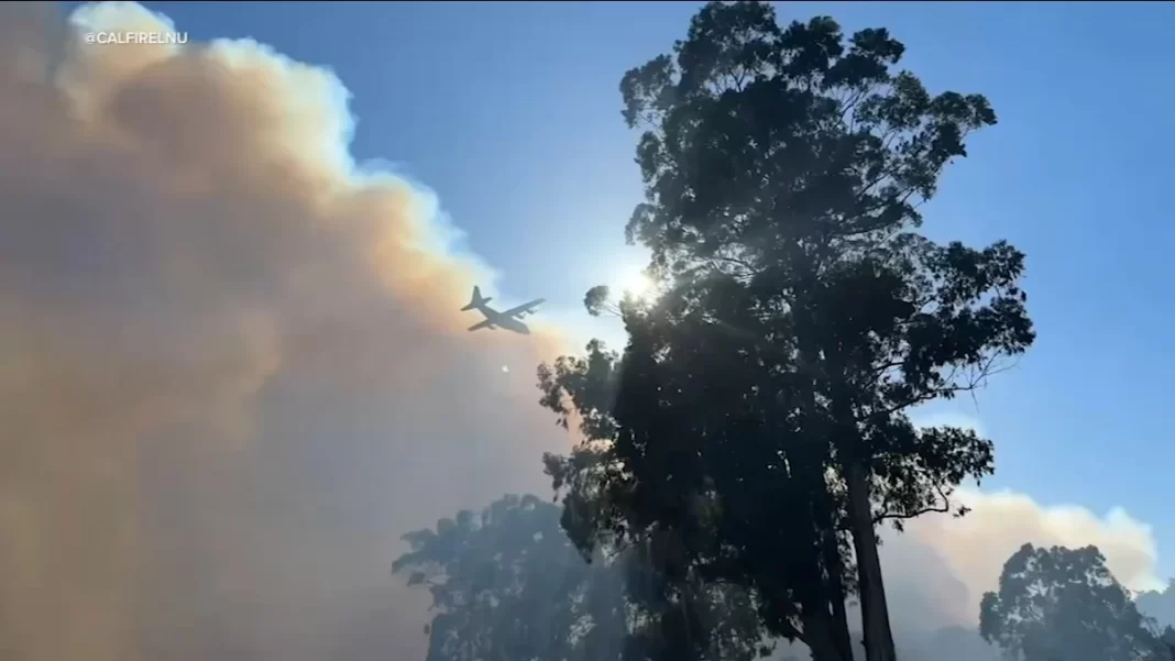
That’s expected to change beginning the evening of Aug. 3, when a high-pressure ridge and shift in winds is expected to bring wildfire smoke into the Willamette Valley.

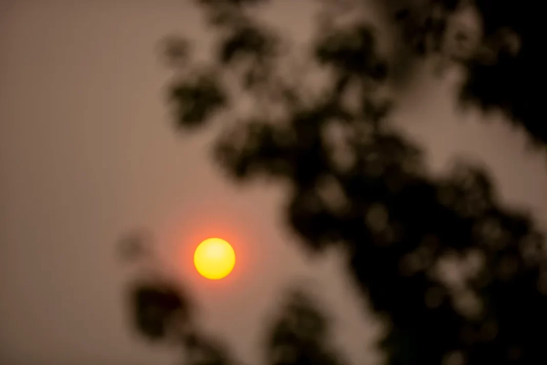
The sun glows red due to nearby wildfire smoke on Saturday, Sept. 10, 2022 in Salem, Ore.
It’s not clear how thick it will get and what impact that will have on air quality — whether it will drop to unhealthy or just moderate levels.
“I would expect some degradation of air quality, but I don’t know by how much at this point,” National Weather Service meteorologist Tyler Kranz said.
Oregonians will want to keep an eye on the Oregon Smoke Blog, alerts and live air quality maps operated by the Oregon Department of Environmental Quality.
Temperatures could hit 100 across Willamette Valley
In addition to the smoke, temperatures will heat up and likely reach the upper 90s and potentially 100 across the state.
The hottest day is forecast to be Aug. 5, when Portland, Salem and Eugene will have a 50% chance of reaching 100. The same area will have a 15-20% chance of hitting 100 degrees on Aug. 4.
It’s expected to stay hot until late on Aug. 6 or Aug. 7, when temperatures start to cool into the lower 90s or upper 80s.
Red flag warning issued for Eugene, Columbia Gorge
In general, the hot temperatures will bring higher wildfire danger. But there are a few times when it will be particularly high.
A red flag warning has been issued for Albany south to Eugene from 1 p.m. to 8 p.m. on Aug. 3. The warning is due to dry winds running 10 to 15 mph, with guests up to 25 mph.
“Conditions may be favorable for rapid fire spread which may threaten life and property,” NWS wrote.
In the Columbia Gorge, a fire weather watch is in place for Aug. 4 due to dry winds.
Overall, though, fire danger will be higher than it has been all season between Aug. 3 to 6.
When will the weather mellow?
The adverse weather is being caused by a high pressure ridge and a thermal trough, Kranz said. In other words, winds coming from the north and east, rather than the cool marine air from the ocean. That should start to change, and temperatures should begin to cool somewhat, the evening of Aug. 6 and particularly by Aug. 7.
“It should be notably cooler and it should be strong enough to push out the smoke, Kranz said.
Zach Urness has been an outdoors reporter in Oregon for 18 years and is host of the Explore Oregon Podcast. He can be reached at zurness@StatesmanJournal.com or 503-399-6801. Find him on X at @ZachsORoutdoors and BlueSky at oregonoutdoors.bsky.social
This article originally appeared on Salem Statesman Journal: Warnings issued for smoke, heat and fire danger in western Oregon